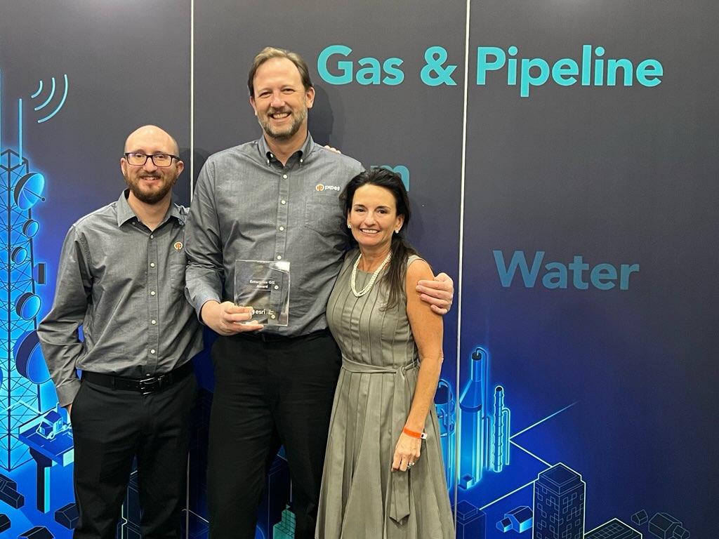
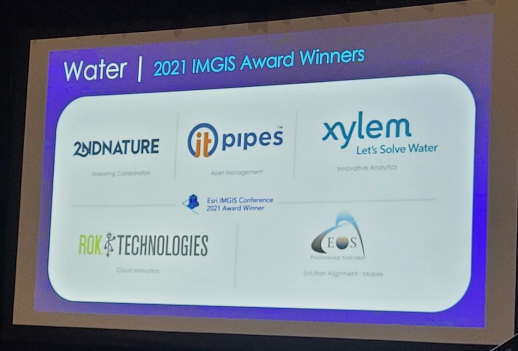
ITpipes receives the award in the Water Asset Management category
PALM SPRINGS, CA – October 26, 2021 – ITpipes (Infrastructure Technologies, LLC), the most trusted, user-friendly platform available to manage municipal wastewater collection systems, announced today they have received a 2021 Esri IMGIS Award in recognition of its Asset Management integrations with Esri’s GIS mapping software. The award was announced at Esri’s 2021 Infrastructure Management GIS (IMGIS) Conference in Palm Springs, CA.
“ITpipes has doubled down on our Esri partnership alignment these past years, and we’re thrilled to be recognized.” said Mark Grabowski, Business Development Manager, ITpipes. “We count Esri as a close industry partner, giving our clients the power to take their ITpipes underground pipe inspection data and create infinitely more powerful analytics by utilizing Esri mapping.”
“ITpipes has worked diligently to integrate with Esri and in doing so provides our customers with solutions that grow the value of their GIS and support organizational goals.” said Christa Campbell, Director Industry Solutions: Water, Esri. “It’s been a pleasure working with them over the years.”
ITpipes is an Esri Partner Network Silver partner and listed on the Esri ArcGIS Marketplace. The ITpipes software platform consumes Esri map products and enhances workflows and processes. This allows the software to meet the diverse needs of state and local municipal agencies, as well as private contractors in the US.
“We are beyond thrilled to receive this recognition” said CEO, Cori Criss. “The entire ITpipes team – from development to sales – recognizes the value of such a close partnership with Esri and has worked to align our products seamlessly. This award is the result of those efforts”.
About ITpipes
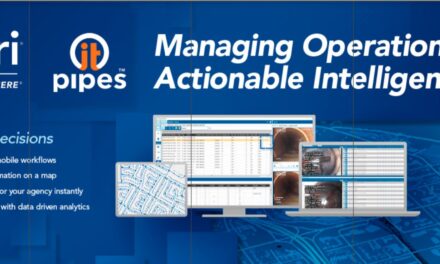
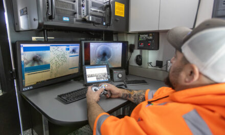
ITpipes develops platforms to allow pipeline inspections to quickly turn into actionable intelligence. ITpipes simplifies field inspections, streamlines data management, and provides powerful decision-making tools for pipeline planning and prioritizing. ITpipes has proven success with many of America’s most demanding utilities, successfully moving their pipeline maintenance and rehab programs from reactive to predictive. ITpipes partners with ESRI to ensure integrated mapping and automation with client asset management systems such as Cityworks, Cartegraph, CentralSquare and Tyler Technologies. Visit us at itpipes.com
About Esri
Esri, the global market leader in geographic information system (GIS) software, location intelligence, and mapping, helps customers unlock the full potential of data to improve operational and business results. Founded in 1969 in Redlands, California, USA, Esri software is deployed in more than 350,000 organizations globally and in over 200,000 institutions in the Americas, Asia and the Pacific, Europe, Africa, and the Middle East, including Fortune 500 companies, government agencies, nonprofits, and universities. Esri has regional offices, international distributors, and partners providing local support in over 100 countries on six continents. With its pioneering commitment to geospatial information technology, Esri engineers the most innovative solutions for digital transformation, the Internet of Things (IoT), and advanced analytics. Visit us at esri.com.