A Look Back on Pipe Inspection Software and GIS
Each year, November 16 is the celebration of GIS Day. GIS day brings universities, government agencies, schools, non-profits, and GIS professionals together to build knowledge of GIS in their communities, and create understanding about the world we live in.
GIS Day began back in 1999 as an initiative to help people learn about geography and the uses of GIS, and encourage GIS users and pioneers to help showcase their work in mapping our world.
On this GIS Day 2022, ITpipes wanted to take a look back to see the humble beginnings of the role that GIS played in our niche industry of pipe inspection software. Luckily, we didn’t have to go far to find the answers, as ITpipes’ CEO, Cori Criss is arguably the pioneer of this rollout.
“One of our big clients, Jim Loundsbery with National Water Main, came to us in the early 2000’s and showed us these amazing Esri maps that the NYDEP was using, and asked us to build an integration to allow the pipe inspection data to flow into GIS, and vice-versa. I immediately saw the value in geospatial applications for underground pipe condition data and the inspection workflow” says Cori Criss, CEO, ITpipes. “However, at the time, we were reselling a different software, and unfortunately the European-based programmers and Executive team didn’t see the same value I did in GIS. So, we did it on our own.”
Cori and her US-based team hired developers and within months, they had the initial add-on tools, creatively named “GIS Send” and “GIS Receive”. These plug-ins allowed users functionality such as appending databases and updating attribute data – actions we take for granted these days. This groundbreaking work allowed for better work order management, organized and efficient CCTV inspections, and decision-making tools like heat maps.
“I discovered the Esri Water Team in 1999 and told them what we were doing. They were as excited as I was about integrating maps for this niche part of the industry. Being the first company to do GIS and sewer condition assessment integration, Christa Campbell’s Team welcomed us with open arms, and we’ve remained close partners since.”
Within a couple years, these new integration tools were in place in about a half-dozen cities. Fort Worth has been one of ITpipes’ closest partners, having been robust GIS users since the beginning and their help with beta testing and feedback was priceless.

“Once municipalities saw the success, efficiency, and decision-making power that GIS and pipe inspection data have when combined, the concept took off, and other software companies in our industry soon followed,” added Cori.
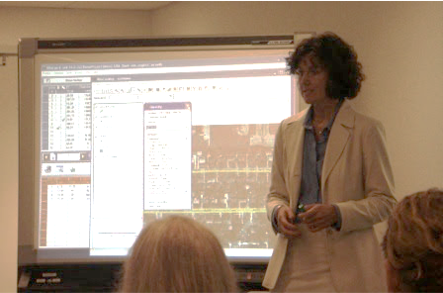
In 2009, Cori and the ITpipes team had an opportunity to build pipe inspection software from the ground up. One of the foundation requirements was integral database integration with Esri and ArcGIS. The new ITpipes Desktop rolled out to clients immediately ready to work with GIS.
Having pioneered the GIS/pipe inspection data integration, Cori worked with David Wachal on one of the industry’s first white papers on the topic in 2011, which encouraged many agencies to revamp how they were using mapping with sewer and storm pipelines.
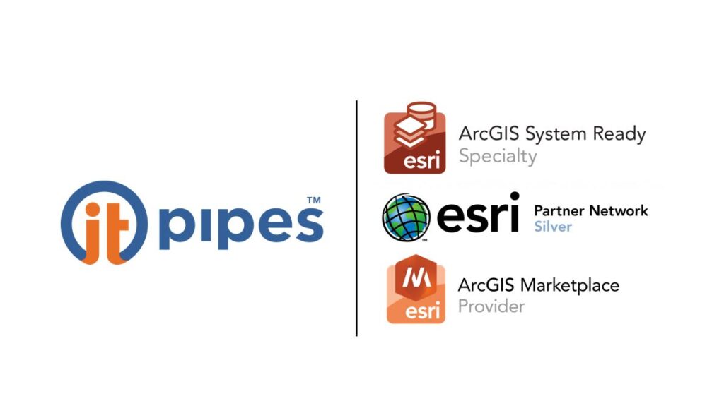
Since those early days, much has changed with technology, but Cori and ITpipes’ drive to continue innovative collaboration with Esri GIS hasn’t slowed. ITpipes’ new platform rolled out in 2019 and is still the only platform in the pipe inspection software market to consume ESRI Feature Services. In 2020, ITpipes was the first pipe inspection software to earn the Esri “System Ready” Specialty. In 2021, ITpipes was the first pipe inspection software on the ArcGIS Marketplace. And it doesn’t stop with just Esri – ITpipes is the only software offering automated bi-directional automation with GIS-centric Asset Management Software, like Cityworks or Cartegraph.
Adds Cori “GIS integration with pipe inspection should be the standard. Being able to geospatially view your underground assets and their condition is the only way to make proper decisions when it comes to maintenance, repair and budgeting.”
Happy GIS Day 2022 from your friends at ITpipes!
For more information, webinars, papers, press releases, and demos showing the power of ITpipes and Esri, check out the page on our website.
For other blog posts highlighting the functionality of ITpipes and GIS, check out: