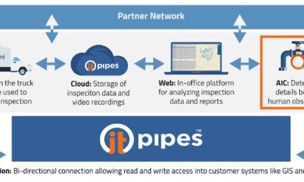
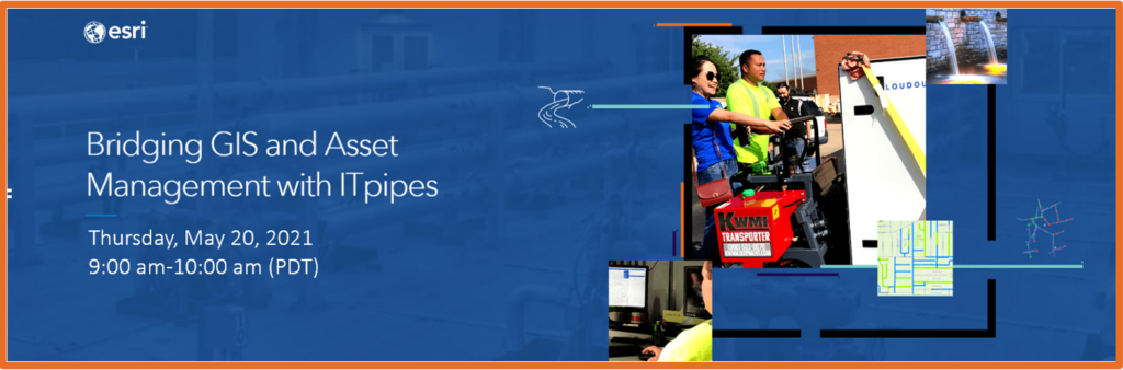
Bridging GIS and Asset Management with ITpipes
Loudoun Water: Modernizing Condition and Remediation Planning
Esri Water, ITpipes and Loudoun Water present this webinar replay. This 1 hour webinar discussed how ArcGIS and ITpipes software is being used to modernize sewer pipeline condition and remediation planning. Additionally, supporting asset management goals.
Celine Yang, GIS Analyst, and Niroth Neov, NASSCO Certified CCTV Specialist, share how Loudoun Water leverages GIS and ITpipes software to support sewer rehabilitation planning. Learn how they have modernized the CCTV data capture process, setting the stage for future asset management goals. Goals such as business case development for rehabilitation planning and increased efficiency of preventive maintenance programs. Celine and Niroth also share the benefits Loudoun water has gained by using GIS and ITpipes to support daily operations.
Mark Grabowski from ITpipes wraps up with a discussion about technical features of the software integration.