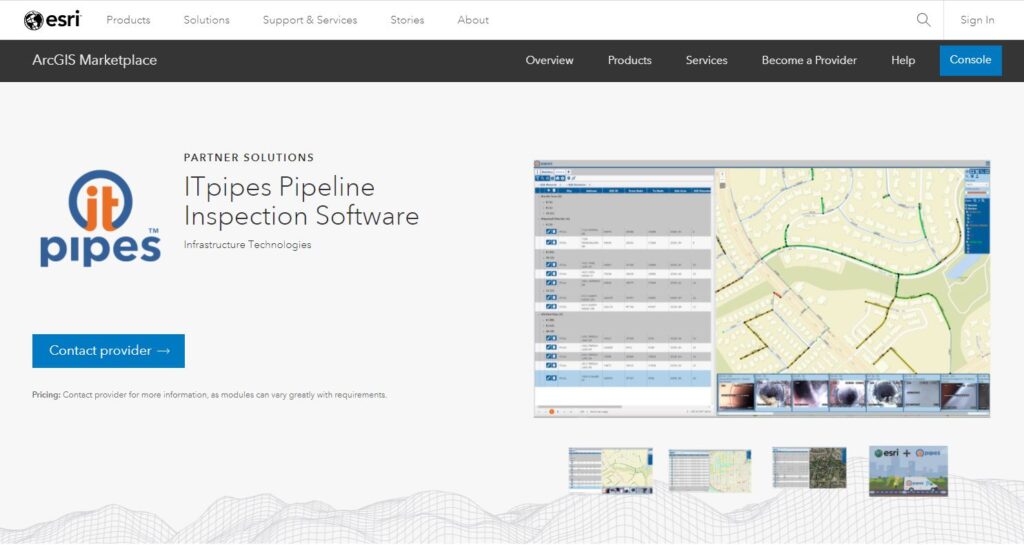
Albuquerque, NM – August 18, 2021 – Infrastructure Technologies (ITpipes), the most trusted, user-friendly platform available to manage municipal wastewater collection systems, announces its pipe inspection software offerings are now live in the Esri ArcGIS Marketplace. This achievement is based on ITpipes’ expertise and capability in understanding, adopting, and leveraging the latest version of Esri ArcGIS technology within ITpipes’ innovative pipeline inspection products.
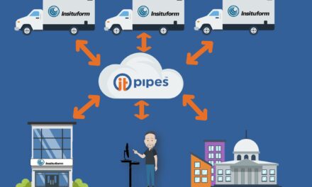
The ArcGIS Marketplace listing ITpipes Pipeline Inspection Software offers Esri ArcGIS users an option to explore the immediate return on investment of adding ITpipes Mobile, Web, Sync, or Cloud to their pipe inspection program. All ITpipes’ software platforms consume Esri map products and enhance workflows and processes, allowing the software to meet the diverse needs of state and local municipal agencies, as well as private contractors in the US.
“Since our inception 12 years ago, ITpipes has counted Esri as a close industry partner, allowing our clients the ability to take their pipe inspection observation data and automatically turn it into visualizations using maps.” states Ross Brown, Sales Manager, ITpipes. “Underground infrastructure is very difficult to see and therefore analyze. However, with ITpipes and Esri GIS, agencies can obtain deeper insights such as patterns, relationships, and situations – allowing users to get actionable intelligence from their data.” adds Brown.
“For more than 10 years ITpipes has provided customers with solutions that not only save time and money, but help them make educated decisions when it comes to their critical water and wastewater pipelines”
Christa Campbell, Director Industry Solutions: Water, Esri
“ITpipes is a valued Esri partner, leveraging hosted feature services through ArcGIS Online or locally hosted ArcGIS Enterprise, “said Christa Campbell, Director Industry Solutions: Water, Esri. “For more than 10 years ITpipes has provided customers with solutions that not only save time and money, but help them make educated decisions when it comes to their critical water and wastewater pipelines. ITpipes’ participation in the ArcGIS Marketplace continues to affirm their dedication to providing GIS-ready products to our mutual clients.”
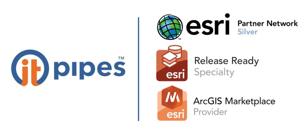
ITpipes was designated an ArcGIS Marketplace Provider by attaining the Esri Release Ready Specialty designation in late 2020. This designation is for partners that are keeping pace with Esri technology; have industry expertise; offer solutions, services, or content based on the latest Esri software releases; and help users make smart decisions using the ArcGIS technology. The ArcGIS Marketplace features products and services that extend the capabilities of ArcGIS to include industry- and workflow-specific solutions built by Esri’s global partner and distributor community.
“We are thrilled to have ITpipes recognized as a leader with the Marketplace Certification and the Release Ready certification we obtained in 2020” states Jeremy Johnson, Product Development Manager at ITpipes. “ITpipes Web’s latest release includes upgrades for ArcGIS JavaScript and adds in support for user level authentication through ArcGIS online or a Federated ArcGIS Portal, simplifying user management for clients using ESRI enterprise-wide.”
ITpipes is currently the only pipeline inspection software available on the Esri ArcGIS Marketplace. Clients can find ITpipes Mobile, Web, Sync, and select services within the marketplace listing.
About ITpipes:
ITpipes develops platforms to allow pipeline inspections to quickly turn into actionable intelligence. ITpipes simplifies field inspections, streamlines data management, and provides powerful decision-making tools for pipeline planning and prioritizing. ITpipes has proven success with many of America’s most demanding utilities, successfully moving their pipeline maintenance and rehab programs from reactive to predictive. ITpipes partners with Esri to ensure integrated mapping and automation with client asset management systems such as Cityworks, Cartegraph, Lucity and Tyler Technologies. Visit us at itpipes.com
About Esri:
Esri, the global market leader in geographic information system (GIS) software, location intelligence, and mapping, helps customers unlock the full potential of data to improve operational and business results. Founded in 1969 in Redlands, California, USA, Esri software is deployed in more than 350,000 organizations globally and in over 200,000 institutions in the Americas, Asia and the Pacific, Europe, Africa, and the Middle East, including Fortune 500 companies, government agencies, nonprofits, and universities. Esri has regional offices, international distributors, and partners providing local support in over 100 countries on six continents. With its pioneering commitment to geospatial information technology, Esri engineers the most innovative solutions for digital transformation, the Internet of Things (IoT), and advanced analytics. Visit us at esri.com.
For more information contact:
Mark Grabowski, Business Development Manager
[email protected]